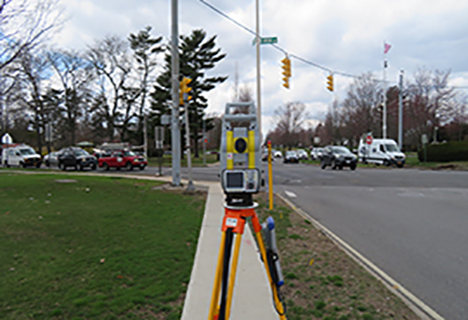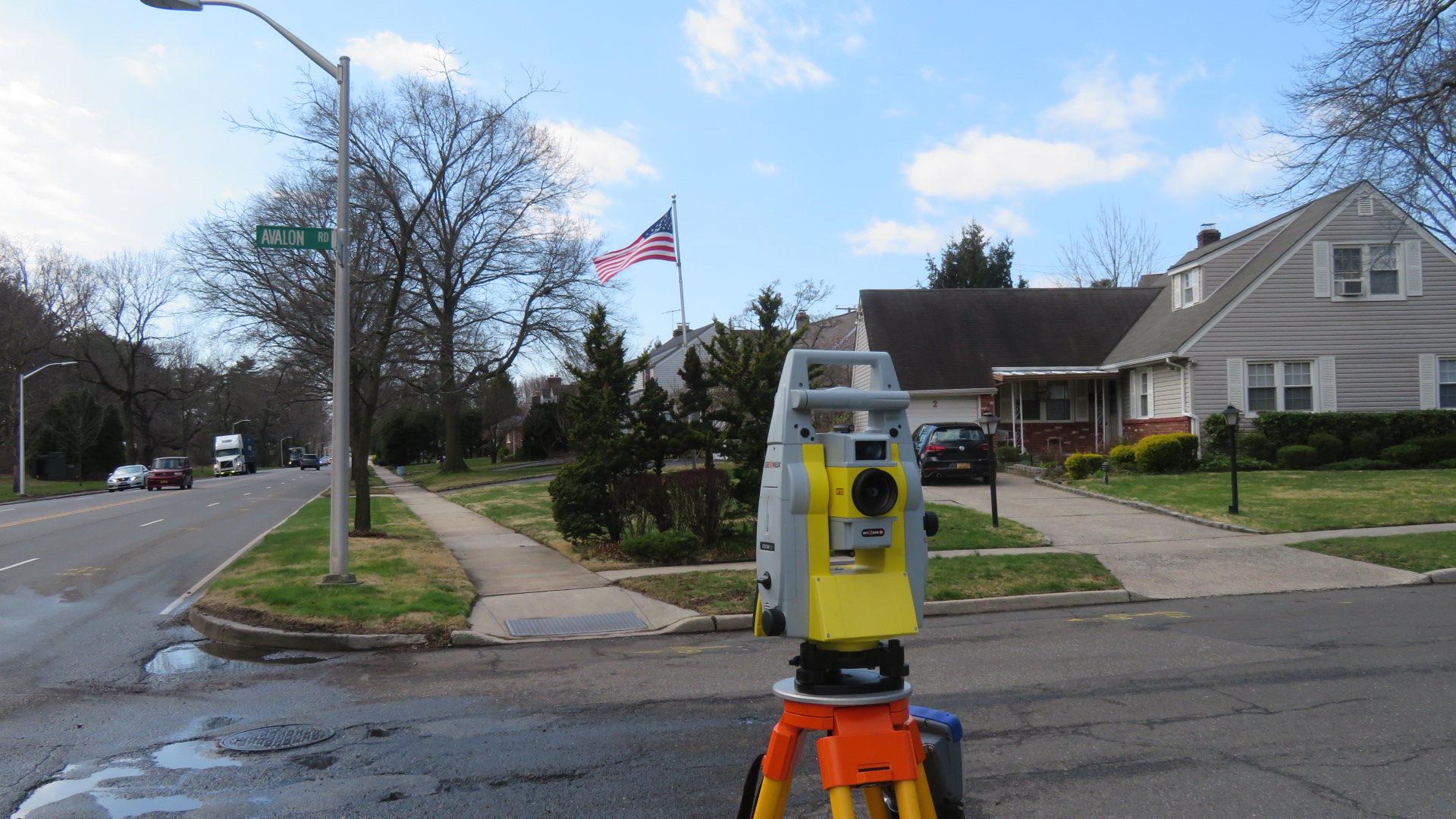
SEPC’s experienced survey team is equipped with the latest robotic total stations, GPS, and digital levels. We continue to invest in the latest developments in GPS technology and personnel training as part of our commitment to provide quality service at competitive rates. We have in-house capabilities for performing Computer-Aided Design (CAD) and analysis, word processing, and cost estimating.
The firm can provide all services necessary to produce highly detailed, accurate surveys. Our in-house field to finish system semi-automates drafting, providing us with both time and accuracy-based benefits. We provide the following services:
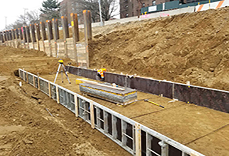
We have the equipment and know-how to collect and deliver data designed to accurately represent existing conditions for projects ranging from small residential lot surveys to preparing design grade mapping products for large scale infrastructure projects.